FREE
Results 9
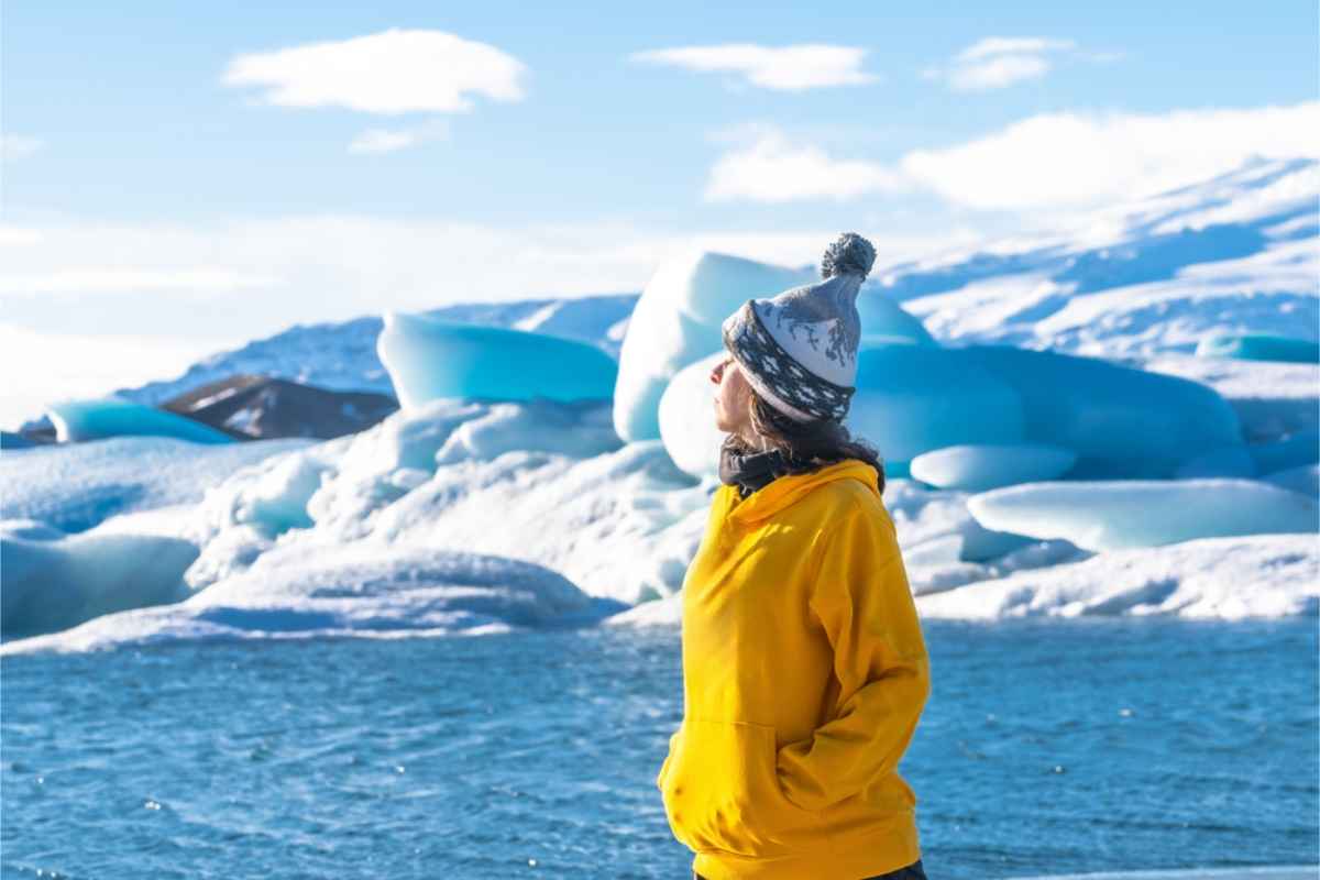
Iceland is typically recognized as one of the most expensive places in the world, including for things like groceries. The country doesn’t have much farmland,...
2025-10-13
12 min read
Game of Thrones took the world by storm with its interesting story and high-action scenes. However, it wasn’t just the story and characters that captured...
2025-10-06
6 min read
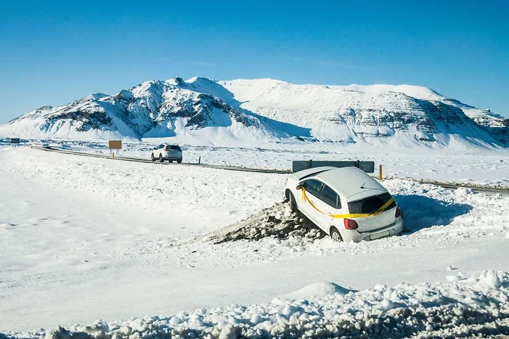
Driving in Iceland during winter sounds reckless at first glance. Snow, ice, winds that could knock a hat clean off. Yet this is where the...
2025-09-29
18 min read
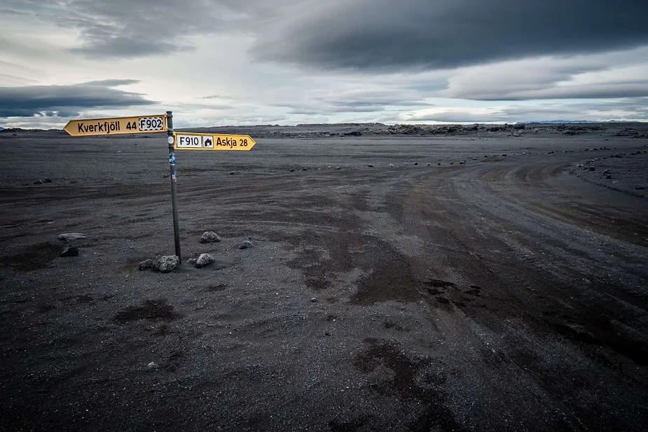
F-roads in Iceland are the part of the journey that guidebooks gloss over or water down. These aren’t cozy sightseeing routes. They test your planning,...
2025-09-22
13 min read
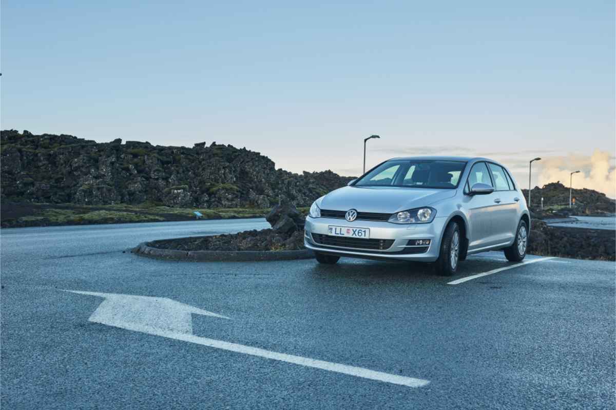
So, is a car necessary inside Reykjavik? That’s the first question people type into Google after booking their flights and realizing Iceland isn’t exactly known...
2025-09-15
10 min read
Most travelers laugh when they hear ‘Iceland bathrooms’ until they find themselves counting sheep in the middle of nowhere with no toilet in sight. Reykjavík...
2025-09-08
9 min read
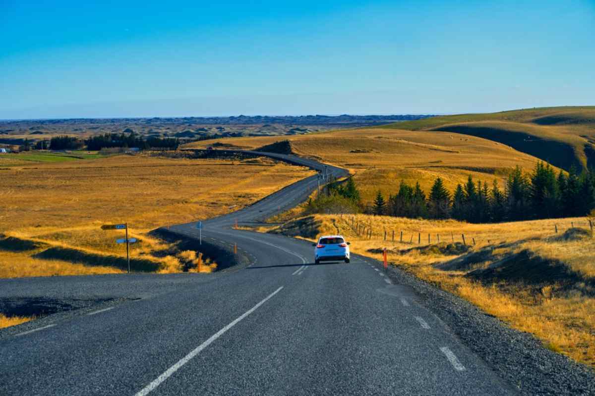
People keep asking how many days in Iceland, like, there’s some kind of magic number. Wrong question. The real one is how much you can...
2025-09-01
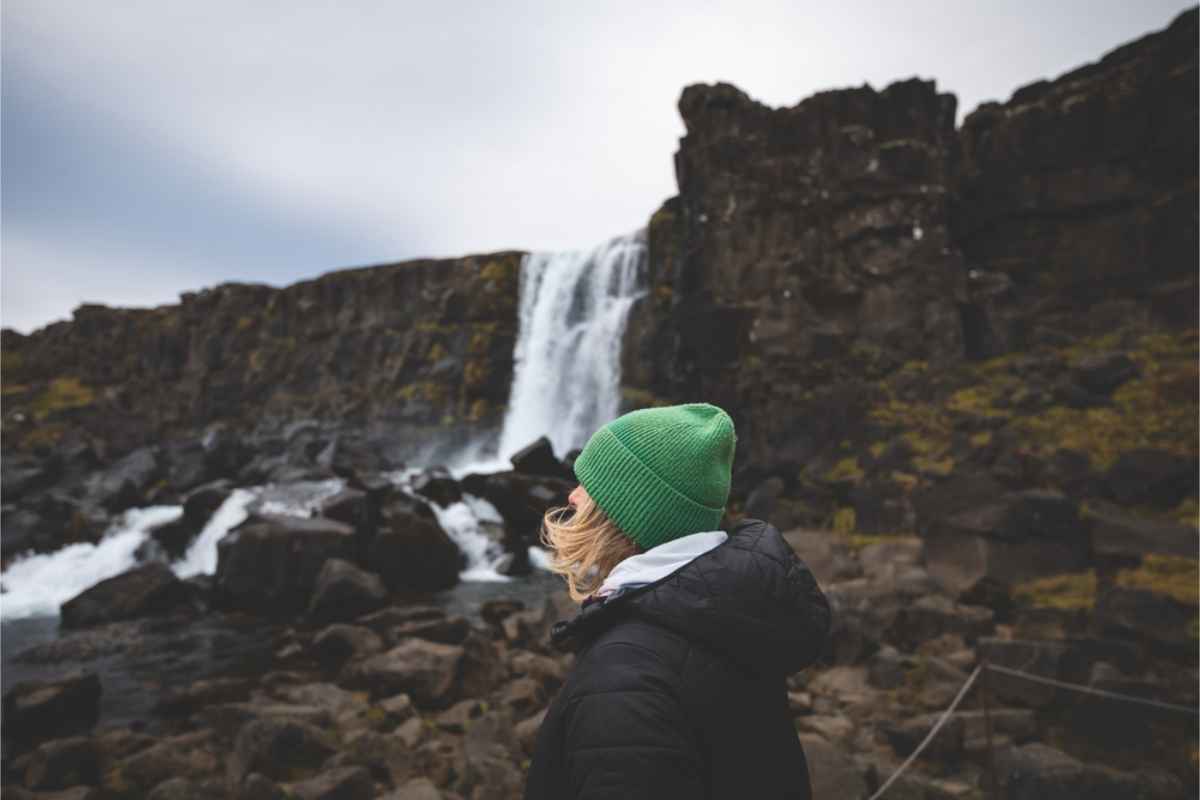
Accidents happen, even on Iceland’s dreamy roads. One minute you are chasing waterfalls, the next you are staring at a dented bumper in a windstorm....
2025-08-25
Have you seen the Instagram photos of road trips around Iceland and felt that wave of all familiar longing for a place we haven’t been?...
2025-08-18
15 min read
Page1 of 14
 - Best Car Rental in Iceland")